Oregon’s ‘terrible’ snowpack could lead to early irrigation season
Published 4:24 pm Monday, March 2, 2026
Idaho and Washington snowpacks also look paltry
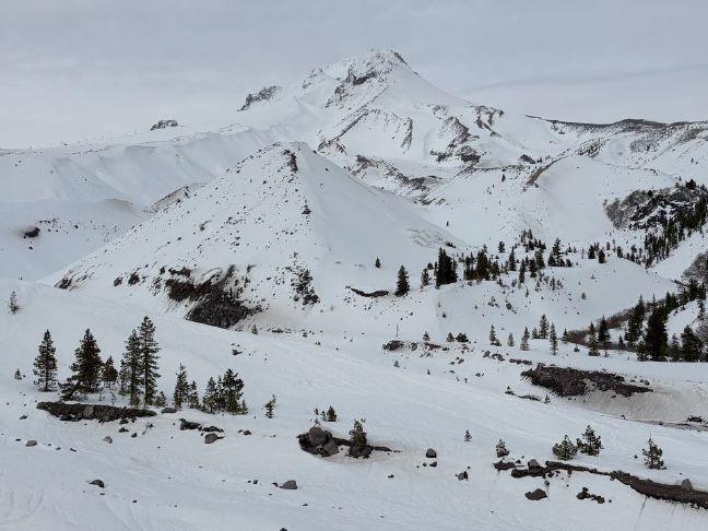
Oregon’s snowpack looked “terrible” roughly one month from when it should hit its peak, and that could contribute to drought and wildfires and cause irrigation problems, said Larry O’Neill, Oregon state climatologist.
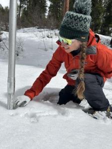
The state’s snow-water equivalent was 32% of the median from 1991-2020 as of March 2, according to the USDA Natural Resources Conservation Service.
That’s Oregon’s second-lowest mark on record, with only the 29% from 2015 being worse, said O’Neill, an Oregon State University associate professor.
“Right now, there’s no reasonable prospect that the snowpack will recover to normal. The hope is that we get a little bit, because every drop of water will be crucial,” he added.
O’Neill said restoring Oregon’s snowpack to even 50% of normal by April 1 was unrealistic with warmer showers in the forecast.
“A lot of places, we’re starting to lose snowpack,” he said.
While Idaho and Washington didn’t have particularly strong snowpacks, they weren’t as meager as Oregon.
“We’re the worst of every state in the West. We’re the epicenter of the snow drought here,” O’Neill said.
Idaho’s snowpack was 74% of normal, while Washington’s was at 53%.
Increased drought, wildfire potential
O’Neill worried about the increased potential for drought and wildfires.
“This will be a drought-filled summer for a lot of Oregon without a really wet spring,” O’Neill said.
Heavy spring rains could help prevent high elevation forests from becoming as dry as kindling.
O’Neill said the state could see an earlier start to the irrigation season. There possibly won’t be enough water to meet those needs in regions such as Central Oregon, the Klamath Basin and Southwest Oregon, where many reservoirs are snowmelt dominated.
Still, it was difficult to predict summer water conditions in early March.
“Within another month, we’ll have a lot more clarity,” O’Neill said.
In some areas, reservoirs have ample carryover because of strong previous years.
“Most reservoirs now are starting to draft and going into storage operations. We need as much water going into those reservoirs as possible,’ O’Neill said.
Oregon, basin by basin
Eleven of Oregon’s 12 major basins had a snowpack less than 40% of normal.
The Grande Ronde-Burnt Powder-Imnaha region was 46% of normal.
Here’s a look at the snowpack for other Oregon basins.
• Umatilla-Walla Walla-Willow — 37%
• Malheur — 35%
• Hood-Sandy-Lower Deschutes — 34%
• Lake County-Goose Lake — 34%
•J ohn Day — 33%
• Harney — 30%
• Upper Deschutes-Crooked — 30%
• Rogue-Umpqua — 27%
• Willamette — 27%
• Klamath — 24%
• Owyhee — 20%
Washington and Idaho snowpacks
Idaho had three of 21 basins above 100%, led by the Big Lost region at 131%, while another was at 96%.
Seven regions were between 71% and 87% and seven were between 50% and 67%.
Three Idaho basins were below 50%, including the Owyhee, which the state shares with Oregon.
Washington had eight of 14 major basins above 50% of normal, led by the Upper Columbia region, at 84%, and the North Puget Sound area, at 73%.
Of Washington six basins lower than 50% of normal, the Yakima region’s snowpack was the lightest at 35%.