


ONLINE Dan Fulleton Farm Equipment Retirement Auction
THIS WILL BE AN ONLINE AUCTION Visit bakerauction.com for full sale list and information Auction Soft Close: Mon., March 3rd, 2025 @ 12:00pm MT Location: 3550 Fulleton Rd. Vale, OR […]
Published 1:15 pm Wednesday, September 28, 2022
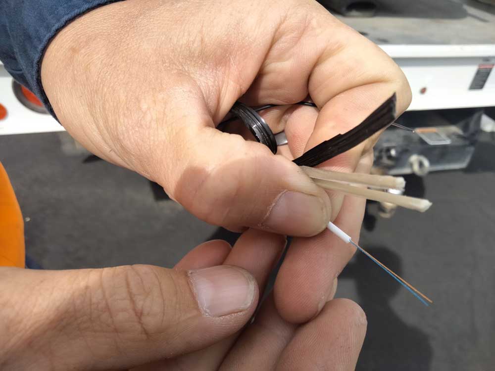
Broadband internet is on its way to rural communities, but some researchers are concerned the agricultural sector may get left behind in federal mapping efforts.
Experts say it is critical that agriculture be prioritized for broadband. A 2019 USDA report estimated that on-farm broadband connectivity and precision agriculture technologies could result in $47 billion in national economic benefits annually and boost farms’ profitability.
The recently passed Infrastructure Act included more than $42 billion aimed at closing the urban-rural “digital divide.”
To determine where to install infrastructure, the federal government is creating a map showing all potential locations where broadband could be installed.
According to Federal Communications Commission chairwoman Jessica Rosenworcel, the FCC has been working with a contractor, CostQuest Associates, to compile this map, which the FCC aims to release in November.
Some researchers have previewed the map and say that agricultural structures, such as barns and farm offices, did not appear to be identified.
“This latest takeaway that ag doesn’t look like it’s going to be included (in the map) is not promising, frankly,” said Brian Whitacre, an agricultural economics professor and digital divide researcher at Oklahoma State University.
Whitacre previewed part of the map in July.
While it’s possible CostQuest has changed the map since July to identify agricultural structures, researchers aren’t too optimistic.
In response to broadband researchers’ concerns, Mike Wilson, vice president of CostQuest Associates, said that “agriculture is not left out of the maps.”
The FCC defines what is or isn’t a broadband serviceable location, and Wilson said it’s important to understand the definition’s nuances.
“Things like barns, chicken houses and grain silos are not considered BSLs (Broadband Serviceable Locations), while working offices and residential structures that are within agriculture parcels generally are,” he said.
Wilson said CostQuest has captured data on all structures across the U.S. and classifies certain structures as “agricultural.”
“This data can be used to support things like precision ag,” he said. “We’re big believers in data supporting farmers and the agricultural industry, generally.”
Nationwide, agriculture has long been underserved for broadband connectivity.
In Oklahoma, for example, in an analysis of 2020-2021 data, Whitacre and co-researcher Christina Biedny, a Ph.D. student, found that agriculture was the least-served land use category, with 39% of agricultural structures lacking 25 megabits per second download/3 Mbps upload and 78% lacking the speed the Fiber Optic Association defines as “sufficient:” 100/20 Mbps.
If the FCC’s map overlooks agriculture, it won’t be the first time the agency has produced flawed maps.
For decades, the FCC has been criticized for its maps, which have vastly overestimated broadband availability, according to the Center for Rural Affairs. The maps relied on data from utilities labeling a unit of geography as “served” even if only one household in an entire census block — containing 600 to 3,000 people — received service.
Congress realized this definition was problematic, so in 2020, legislators passed the Broadband Deployment Accuracy and Technological Availability Act, scrapping the census block definition for a new method.
This method involves compiling a national “broadband serviceable location fabric,” a dataset that is supposed to include every single structure in the U.S. — houses, businesses, barns — where broadband could be installed.
It’s a behemoth project.
Biedny, of Oklahoma State, said one challenge of compiling a map of this magnitude is that data sources vary widely, ranging from county assessor records to on-the-ground verification.
Some experts who recently previewed the FCC’s map have already flagged problems.
Mike Romano, the Rural Broadband Association’s executive vice president, told the trade publication Telecompetitor that about 90% of his association’s members found missing locations on the FCC map, and two-thirds saw extra locations.
Some states are making their own broadband maps to challenge FCC data if needed.
Annually, the California Public Utilities Commission collects data from broadband providers. The commission then works with California State University-Chico technicians to publish the data in the California Interactive Broadband Map.
The commission and researchers are currently reviewing the FCC-CostQuest map and preparing their own state-level publication of priority areas for funding, according to Terrie Prosper, the commission’s spokeswoman.
The Oregon Broadband Office is also compiling a state-level map using data from utilities.
Separately, the state is collecting self-reported data on connection speeds from internet users.
The office’s strategic plan says high-speed internet access is “essential” for agricultural producers.
USDA’s Rural Utilities Service has some opportunities for infrastructure funding that benefit farms, such as through the ReConnect Loan and Grant Program. But to secure funding from larger programs, such as the Broadband Equity, Access and Deployment Program, the state has more mapping to do.
Washington is preparing for the FCC map release in two ways: by surveying internet users and by preparing to create a map identifying serviceable locations.
“It’s a complex task and will take some time, and a variety of source data…,” said Erika Henry, deputy director of the state broadband office.
Washington will partner with USDA to map agricultural structures.
Idaho is seeking a consultant to put together its broadband map. The goal is to complete the map by next January.
Idaho aims to ensure agricultural structures don’t get overlooked.
“Part of our scope of work includes developing a map down to address-level data on broadband availability, categorizing locations across our state as served, underserved or unserved. This would include agricultural address locations and structures,” said Jake Reynolds, state Department of Commerce administrator.
