


ONLINE Dan Fulleton Farm Equipment Retirement Auction
THIS WILL BE AN ONLINE AUCTION Visit bakerauction.com for full sale list and information Auction Soft Close: Mon., March 3rd, 2025 @ 12:00pm MT Location: 3550 Fulleton Rd. Vale, OR […]
Published 2:30 pm Wednesday, February 7, 2024
BOISE — As Kendra Kaiser sees it, measuring the flow of Idaho’s rivers and irrigation canals will benefit water managers in the future.
Streams, rivers and aquifers are impacted by various uses — irrigation among them — “and we need data to understand how all of these are changing,” said Kaiser, a Boise State University hydrological researcher. “As we are gathering data, we need to prepare and adapt, to mitigate negative impacts like drought.”
Kaiser is on a research team that recently worked to get streamflow data from more sources around the Pacific Northwest.
The U.S. Geological Survey operates the country’s largest streamflow monitoring network. The agency typically places gauges wherever a river is sizable and attracts substantial human activity, she said.
Researchers and some 30 contributing organizations have set out to create a larger, broader database by incorporating other operators’ gauges. State and federal agencies, tribes, municipalities, irrigation districts, universities and some nonprofits measure streamflow.
“Our data deals with smaller streams and headwater areas,” Kaiser said. The idea is to increase measurement and analysis across a fixed area so “instead of having one point, you have 10 points of information.”
The project identified a little over 600 USGS gauges in the Northwest and nearly as many others that are active and track year-round flow, she said. Data were recently combined into an online catalog.
Water managers and users benefit from additional data and analysis, Kaiser said. “And it’s best to take advantage of what’s already out there.”
More streamflow measurement also could aid kayaking and boating safety. On the South Fork Salmon River in central Idaho, for example, gauges would be useful farther downstream, such as below where another stream joins at a confluence, she said. “Now it’s a guessing game to determine safe flow.”
Kaiser is also involved in a project that will develop a suite of models to forecast irrigation season streamflow in the Big Wood River Basin and Silver Creek, in the state’s central mountains, as early as March. Information would be provided online daily, possibly as soon as next year.
Water shortages have occurred amid drought in recent years, so irrigators “want as much information as early as possible,” she said.
They are also developing new information based on feedback from irrigators, Kaiser said. Researchers are working to model how soon base streamflows occur following peak snowpack.
In another project, one of her graduate students, Bridget Bittman, studied 15 Boise River drains and found significant flow reductions at six. The drains return excess water from the landscape to the river. Lower returns can reduce available water downstream.
Urbanization was found to be a key factor as it reduces the amount of pervious and irrigated ground. Developers also pipe some previously unlined canals. Irrigation efficiency improvements and increased groundwater pumping also impacted the data.
Watermasters, who manage irrigation deliveries, the Northwest Climate Adaptation Science Center and the U.S. Bureau of Reclamation participated.
The Boise River Basin’s many players are talking and working together more, “and that is needed given continued growth in the valley,” Kaiser said.
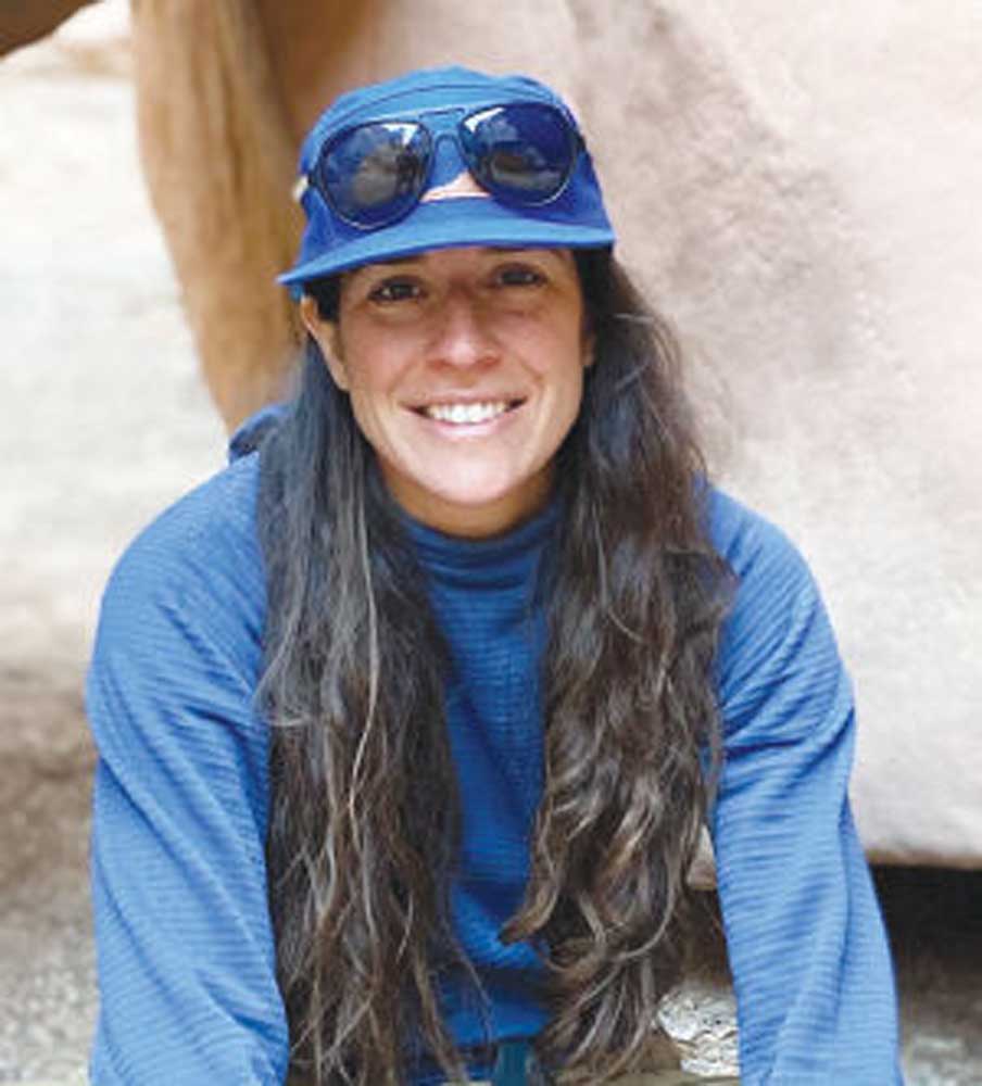
Kendra Kaiser
Title: Assistant research professor and hydrologist, Boise State University
Hometown: Wilson, N.C. Lives in Boise.
Education: B.S., environmental sciences, Montana State University; Ph.D., watershed hydrology and geochemistry, Duke University
Associations: Board member, Idaho chapter of the American Water Resources Association, member, American Geophysical Union
Age: 35
Family: Single
Hobbies: Kayaking, bicycling, skiing.
