


ONLINE Dan Fulleton Farm Equipment Retirement Auction
THIS WILL BE AN ONLINE AUCTION Visit bakerauction.com for full sale list and information Auction Soft Close: Mon., March 3rd, 2025 @ 12:00pm MT Location: 3550 Fulleton Rd. Vale, OR […]
Published 9:30 am Wednesday, October 30, 2024
BAKER CITY, Ore. — The Wallowa-Whitman National Forest has finished its plan to cut trees and light prescribed fires in and around Baker City’s watershed with a goal of reducing the risk of a large wildfire that could threaten the city’s primary water source.
The final environmental assessment for the watershed project was released earlier this month.
Work is slated to start in and around the 10,000-acre watershed in the spring of 2025, said Shaun McKinney, Wallowa-Whitman supervisor.
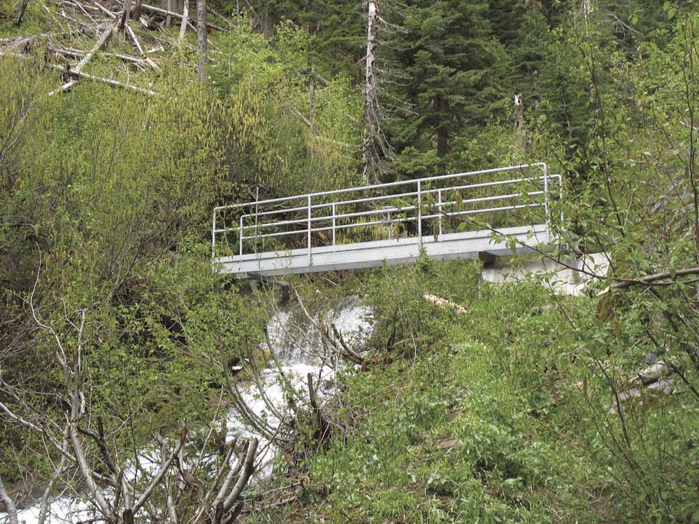
The watershed, on east the east slopes of the Elkhorn Mountains west of town, extends from Goodrich Creek in the north to Elk Creek at the south end. Major drainages within the watershed include Mill, Little Mill, Marble and Salmon creeks.
The overall project covers about 23,000 acres.
The proposal calls for a combination of commercial logging (on about 3,000 acres), noncommercial thinning of trees under 10 inches diameter (about 14,400 acres), and prescribed burning (about 22,500 acres).
McKinney said a 45-day objection period for the project starts Oct. 30. People who have “standing,” meaning they previously submitted comments about the project, can object (previously this was known as an appeal).
The Forest Service then has 45 days to respond to objections.
McKinney said the plan is to have Whitman District Ranger Jeremy Aujero sign a final decision for the project around Jan. 31.
McKinney said he had hoped to have the environmental assessment done by Oct. 1, but the wildfire season, and in particular the Town Gulch Fire in eastern Baker County, took precedence.
Forest officials are looking at the possibility of a salvage timber sale in the burned area, he said.
In any case, McKinney said the delay of a few weeks in releasing the final environmental assessment shouldn’t affect the timeline for on-the-ground work, which was already proposed to start in the spring of 2025.
Forest Service and city officials have been concerned for decades about the risk of a major wildfire in the watershed. Such a blaze could foul streams with ash and dirt, leaving the city, at least temporarily, without its predominant source of water.
(The city also has two supplementary wells, as well as Goodrich Reservoir, which it typically taps only during the summer.)
City officials also have said that a major fire likely would force the city to build a water filtration plant, at a cost of many millions of dollars, to continue using the watershed.
Baker City is one of just three Oregon cities that aren’t required to filter their water to meet federal standards. The city does treat its drinking water with chlorine and with ultraviolet light, both of which are disinfectants.
Although lightning has sparked several fires inside the watershed over the past three decades, firefighters have quickly doused all of those blazes.
Kendall Cikanek, formerly the ranger for the Whitman Ranger District, which includes the watershed, said in a past interview that there hasn’t been a large blaze in the watershed since the 1880s. And based on a study of fire scars on old trees in the area done by researchers from the University of Washington in the mid 1990s, such a blaze, based on historical intervals, likely is overdue.
The Wallowa-Whitman unveiled the current watershed plan in July 2022.
In the late 1990s the Wallowa-Whitman spent more than $2.2 million to cut trees and light prescribed fires to create fuelbreaks on the fringes of the watershed. Most of the work was on the south end and along the road under which is buried the city’s water pipeline, with a goal of giving fire crews a place to head off a blaze moving toward the watershed.
The current project would build on those past efforts but also expand the work inside the watershed boundaries.
Most of the logging that produces trees large enough to be sold to mills would happen outside the watershed.
Areas where commercial logging is proposed include in upper Washington Gulch, California Gulch north of Highway 7, and on public land in the lower sections of Salmon Creek, Rouen Gulch and Hibbard Gulch.
Most commercial logging proposed inside the watershed is concentrated in the Marble Creek area. That’s partly because the Marble Creek Pass Road, the only public road that goes through the watershed, is nearby.
One issue that wasn’t settled in the draft environmental assessment the Wallowa-Whitman released in March 2024 was whether the project would include cutting of live trees more than 21 inches in diameter.
A Forest Service policy from the early 1990s banned cutting of trees of that size, after environmental groups decried the scarcity of old-growth trees in Eastern Oregon forests. But in early 2021 the outgoing Trump administration ended that ban. It was later replaced with a more flexible policy which is the subject of legal challenges.
The draft and final environmental assessments both include two alternatives, one calling for logging trees larger than 21 inches, and one which does not.
Wallowa-Whitman officials chose the latter option, which does not include cutting trees bigger than 21 inches in diameter. According to the final environmental assessment, the amendment to the 1990s policy that allowed logging of larger trees is not valid “due to circumstances associated with recent litigation.”
These two tactics constitute the bulk of the work proposed both inside and outside the watershed.
The overriding goal is to reduce the amount of fuel in and around the watershed — standing trees and down logs that can feed a wildfire, McKinney said earlier this year.
The idea, McKinney said, is that even if a fire starts outside the watershed, by reducing the amount of fuel the Forest Service would slow the spread of the flames and give fire crews a better chance to either keep the flames out of the watershed altogether, or to confine it to a relatively small section of the watershed. A major part of this strategy involves creating “defensible fuel profile zones” or, most simply, fuelbreaks.
In these areas, workers would use a combination of thinning and prescribed burning to make linear strips, as wide as 600 feet, where the relatively scarcity of fuel would likely slow the spread of a fire. These fuelbreaks would be built in two major places, McKinney said — along roads, which firefighters have always used as anchors for firelines, and along the tops of several ridges.
Fuelbreaks are proposed along the Pipeline Road, which forms much of the eastern boundary of the watershed, as well as sections of other roads outside the watershed.
Ridgetop fuelbreaks are planned between major drainages such as the ridge between Salmon and Elk creeks, and Salmon and Marble creeks.
