


ONLINE Dan Fulleton Farm Equipment Retirement Auction
THIS WILL BE AN ONLINE AUCTION Visit bakerauction.com for full sale list and information Auction Soft Close: Mon., March 3rd, 2025 @ 12:00pm MT Location: 3550 Fulleton Rd. Vale, OR […]
Published 7:00 am Monday, November 18, 2024
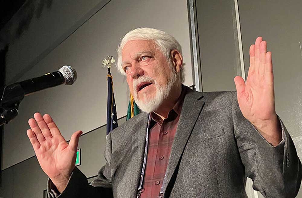
The Pacific Northwest is in for a mild winter with below-average precipitation and above-average temperatures, meteorologist Art Douglas says.
“I’m not saying severe drought, I’m simply saying the pattern is one you’re going to eke through,” said Douglas, professor emeritus of atmospheric sciences at Creighton University, and a popular speaker at the Spokane Ag Show since 1977.
He expects below-normal precipitation from southern Oregon and Idaho southward.
“It leaves the Pacific Northwest not above-normal, definitely, but bordering toward slightly below-normal precipitation, especially in the interior — in other words, wheat country,” Douglas said. “We may have a struggle with precipitation.”
The entire U.S. will have a relatively warm winter, with less snowpack because there will be more rain than snow, and most snow will fall at higher elevations.
“You’re more likely to have near-normal temperatures, which is maybe not what you’d expect with La Nina,” Douglas said of Pacific Northwest farmers. “Your snow levels are probably going to be near normal, but the precipitation is verging on slightly below normal.”
Generally, La Nina means wet, cool weather in the Pacific Northwest and El Nino means drought.
La Nina was “long-advertised,” harkening back to the spring and summer, Douglas said.
Ocean surface temperatures started to decrease in the spring, but leveled off. Instead, it’s developing in the central equatorial Pacific, impacting the jet stream that heads for North America.
There won’t be a deep low pressure system to the south creating floods in California, Douglas said.
“Instead we’re going to see a weaker low that is farther north, but still the Pacific Northwest will benefit from moisture from it,” he said. “California, on the other hand, is likely to be very dry, as well as the Plains.”
Current conditions are closest to the fall of 2021, and close to the falls of 1999, 2001 and 2011 — all La Nina conditions going into the winter.
“Pretty recent years,” Douglas said. “Even though the data starts all the way back in 1947, the oldest in the whole list of possible years is 1998. Everything is coming from the current period of the last 20 years.”
That “probably smacks of global warming,” he said. “The oceans are much, much warmer.”
The ocean surface warmed in the northern Pacific and northern Atlantic. As a result, Douglas does not expect conditions comparable to any analog years before 1998.
“I don’t know that we’re going to be able to shake that,” he said. “It may be that we’re just in a forcing mechanism from global warming that keeps us in these patterns.”
It would take a volcanic eruption or fewer sunspots to cause global cooling, he said. The sun is currently in solar maximum, the peak of its 11-year cycle of activity, with more sunspots, which throw more energy to the earth, enhancing global warming.
Douglas predicts a strong polar vortex in Canada and Alaska.
“When we have cold outbreaks that get into the United States, they come from either one of those two troughs, and the analog forecast has a trough in both locations,” he said. “Even though it’s a mild winter … you could still get a damaging cold week in there.”
La Nina will likely bottom out in December or January. NOAA and the European Centre for Medium-Range Weather Forecasts models both show steady warming after January through May, Douglas said.
That opens the door for a slightly wetter spring than normal for the PNW, he said.
“I’m thinking we’ll have a rejuvenation of Pacific storms as we get into March, April and May, with above-normal precipitation,” he said. “That’s very positive for growing grain.”
